“Try to fly in the middle of the air. The edges are filled with mountains and oceans and rocks and it’s much harder to fly there.” Unknown
The atmosphere that we live in is composed of a mixture of invisible gases. Air, up to 250,000ft, is approximately 78% nitrogen and 21% oxygen. The remaining 1% is made up of argon, carbon dioxide, several other gases and water vapour.
The principal properties of the atmosphere are its ability to expand and be compressed. Remember that: air can expand and be compressed. These two properties are the cause of almost all weather phenomena; when air expands or is compressed, the pressure and temperature of the air changes, thus changing the state of water vapour and creating weather. As air rises, it expands and cools. As air sinks, it is compressed and warms. Or, stated similarly, cool air sinks, warm air rises. Think about that for a moment. Ok now keep reading.
Water vapour, found only in the lower levels of the atmosphere, is from an aviation standpoint the most important component of the atmosphere. Due to its ability to change form, from solid ice crystals to water droplets to vapour, it is responsible for the formation of clouds and fog. These changes in form are the result of changes in atmospheric pressure and temperature. Remember that too: weather is the result of changes to water vapour, air pressure and air temperature.
Atmospheric pressure and temperature, like the state of my secret chocolate supply, are always in fluctuation.
A given amount of air can hold only so much moisture or water vapour before it becomes saturated and the vapour changes form. Usually the vapour will condense, turning into water droplets. As these water droplets clump together or coalesce, they become heavier than the surrounding air, succumb to gravity and fall to the ground. And voila! Rain. A good thing to remember is that cold air can hold less moisture before it becomes saturated than warm air. 
Let’s take it one step further: air is forced to rise due to various lifting agents (frontal systems, ground obstacles, thermal means). As the air rises it does two things: it cools (temperature decreases) and it expands (pressure decreases). This cooling process may bring the air to saturation, resulting in the formation of clouds and/or rain.
The faster the air rises, the faster this whole process occurs, and the more violent the associated weather. Clouds of vertical development, called cumulus clouds, are associated with the rapid vertical ascension of air. Cumulus clouds are thick, rounded and lumpy – clumps of cotton balls in the sky. They can bring about intense, if short lived weather such as high winds, rain showers, hail and thunderstorms. Fair-weather cumulus clouds.
Cumulus clouds.
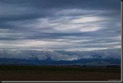
If air rises in a more leisurely fashion, clouds form in horizontal layers. These are called stratus clouds, and tend to bring about milder weather, such as rainy days. 
Stratus clouds.
So over the next few days while you watch the rain come down in Ottawa, melting what little is left of our February snow, think stratus clouds, think nimbus clouds (meaning from which rain is falling), and think low pressure system (more to come on pressure and frontal systems).
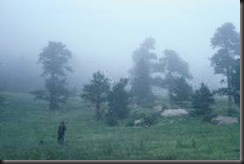
Low stratus clouds. When clouds touch the ground, it is called fog.
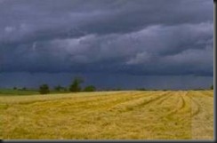
Nimbus clouds.


No comments:
Post a Comment